Satellites
ABI
AVHRR
GVAR
MODIS
OCM
VIIRS
Satellite Schedule
Imagery
Archives
ABI
Nightly GOM SST
All Archives
Animate ABI
AVHRR
GCOOS SST
Atchafalaya Bay SST
Mississippi River Plume SST
Gulf of Mexico SST
Daily Swaths
All Archives
Animate AVHRR
GVAR
MONTHLY SST
GOM SST
North Atlantic Daily SST
EL NINO SST
WEEKLY SST
All Archives
Animate GVAR
MODIS
Louisiana Coast Truecolor
Deepwater Horizon
Regional Truecolor
All Archives
Animate MODIS
OCM
Chlorophyll
Truecolor
All Archives
Animate OCM
VIIRS
VIIRS Gulf of Mexico SST
All Archives
Animate VIIRS
Galleries
Atmospheric Imagery
Animator
Best of ESL
Hurricanes
Seasons
2019
2018
2017
2016
2015
2014
2013
2012
2011
2010
2009
2008
2007
2006
2005
2004
2003
2002
2001
Current Outlook and Discussion
Research
Projects
GCOOS SST
Loop Current and Eddy Circulation Studies
Louisiana Coastal Surveillance
High Resolution Coastal Flood Mapping
Hurricane Research
Deepwater Horizon Surface Oil Research
Observations and Modeling to Advance a Louisiana Coastal Circulation and Oil Spill Prediction System
Publications
Education
About
About the ESL
Contacts
News
Earth Scan Laboratory
Coastal Studies Institute
•
Department of Oceanography & Coastal Sciences
College of the Coast and Environment
•
Louisiana State University
Search:
For full functionality of this site it is necessary to enable JavaScript. Here are the
instructions how to enable JavaScript in your web browser
.
June 2010
S
M
T
W
T
F
S
1
2
3
4
5
6
7
8
9
10
11
12
13
14
15
16
17
18
19
20
21
22
23
24
25
26
27
28
29
30
Imagery available from
May 14 2010 to July 07 2010
Select year and month to jump to
2010
January
February
March
April
May
June
July
August
September
October
November
December
All Months
BP Gulf Research Initiative
Images for June 16, 2010
Filter by
Area:
------
Louisiana
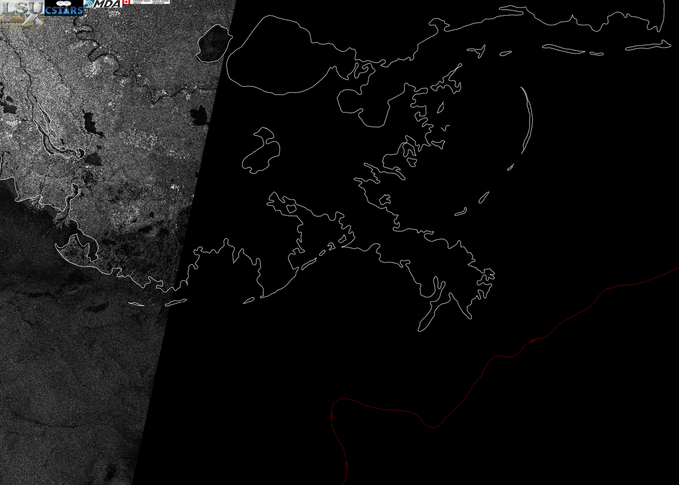
June 16, 2010 12:09 Radarsat-1 100m LA Coast
Download image as GeoTiff
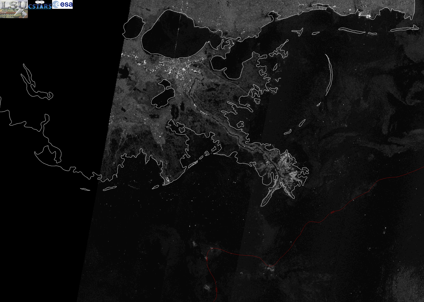
June 16, 2010 15:55 Envisat 100m LA Coast
Download image as GeoTiff
June 16, 2010 16:19 ERS-2 100m LA Coast
Download image as GeoTiff
Jump to page:
1
All Images
Follow @earthscanlab