
The Earth Scan Lab offers a "quicklook" archive consisting of color-scaled, projected images of our historical
data archives. We store our actual datasets in our laboratory, so contact us if you have have interests in the data beyond a still image.
The calendar interface is intended to help faculty, staff, and other researchers quickly evaluate our data offerings temporally for their various research applications.
The calendar interface is intended to help faculty, staff, and other researchers quickly evaluate our data offerings temporally for their various research applications.


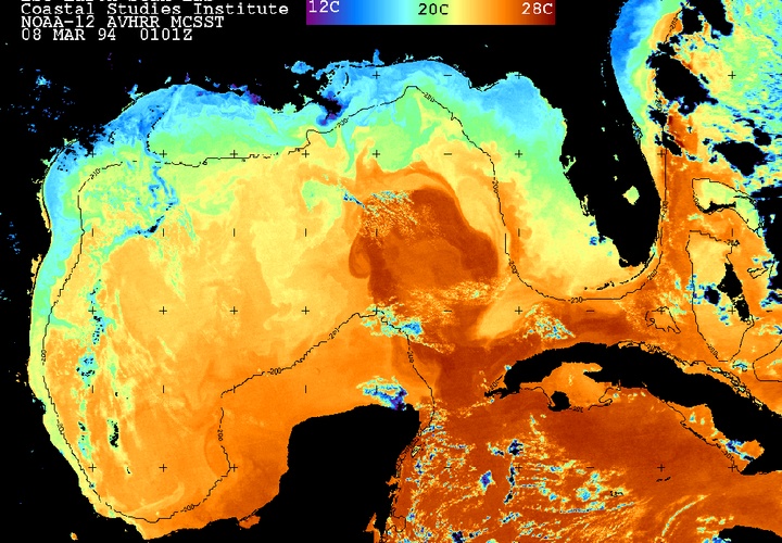
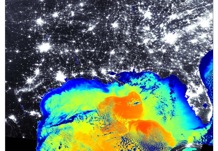
The ESL maintains a collection of image galleries for various macro scale atmospheric and oceanographic events.
Such galleries include imagery depicting hurricanes, oil spills, and flooding events.


The ESL offers animations of the latest water vapor, infared, visible, and low cloud products derived from the GVAR sensor on board the GOES-13 satellite. There are views of the Gulf of Mexico, northern Gulf of Mexico, the Gulf and Tropics,
and the Atlantic ocean from the Carribean to the African coast.
Over the years, the Earth Scan Lab has produced a great deal of imagery and research.
Here you'll find some of our best images, animations, and research.
Here you'll find some of our best images, animations, and research.
Visit our animation generator to build animations from our images and see ocean current circulations come to life. Select satellite, area, and variable of interest, a time range, and watch how the ocean, land and atmosphere transforms over
time.
