Link to LSU Homepage
  • Satellites
    • ABI
    • AVHRR
    • GVAR
    • MODIS
    • OCM
    • VIIRS
    • Satellite Schedule
  • Imagery
    • Archives
      • ABI
        • Nightly GOM SST
        • All Archives
        • Animate ABI
      • AVHRR
        • GCOOS SST
        • Atchafalaya Bay SST
        • Mississippi River Plume SST
        • Gulf of Mexico SST
        • Daily Swaths
        • All Archives
        • Animate AVHRR
      • GVAR
        • MONTHLY SST
        • GOM SST
        • North Atlantic Daily SST
        • EL NINO SST
        • WEEKLY SST
        • All Archives
        • Animate GVAR
      • MODIS
        • Louisiana Coast Truecolor
        • Deepwater Horizon
        • Regional Truecolor
        • All Archives
        • Animate MODIS
      • OCM
        • Chlorophyll
        • Truecolor
        • All Archives
        • Animate OCM
      • VIIRS
        • VIIRS Gulf of Mexico SST
        • All Archives
        • Animate VIIRS
    • Galleries
    • Atmospheric Imagery
    • Animator
    • Best of ESL
  • Hurricanes
    • Seasons
      • 2019
      • 2018
      • 2017
      • 2016
      • 2015
      • 2014
      • 2013
      • 2012
      • 2011
      • 2010
      • 2009
      • 2008
      • 2007
      • 2006
      • 2005
      • 2004
      • 2003
      • 2002
      • 2001
    • Current Outlook and Discussion
  • Research
    • Projects
      • GCOOS SST
      • Loop Current and Eddy Circulation Studies
      • Louisiana Coastal Surveillance
      • High Resolution Coastal Flood Mapping
      • Hurricane Research
      • Deepwater Horizon Surface Oil Research
      • Observations and Modeling to Advance a Louisiana Coastal Circulation and Oil Spill Prediction System
    • Publications
  • Education
  • About
    • About the ESL
    • Contacts
    • News

Earth Scan Laboratory

Coastal Studies Institute • Department of Oceanography & Coastal Sciences
College of the Coast and Environment • Louisiana State University

GOES Atmospheric Imagery

Below is the latest available GOES GVAR thermal imagery. You can also visit imagery depicting current water vapor, visible, and low cloud (lower atmospheric) conditions.
During hurricane season, the ESL's hurricanes page provides a variety of GOES atmospheric products to help monitor the active storms.
To see our GOES sea-surface temperature imagery, visit our archives. Find more of our oceanography research at our Loop Current Research page.

Latest Water Vapor Loop

Water Vapor loop

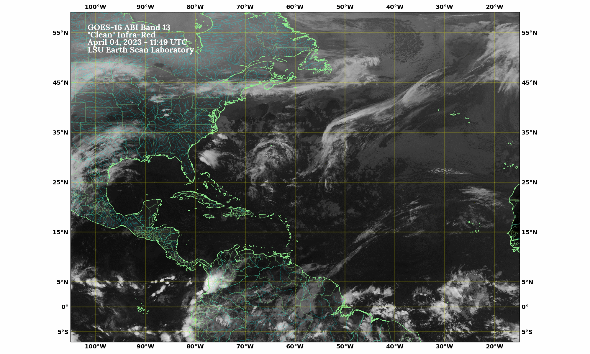
Latest Infrared Loop

Infrared loop

Gulf of Mexico

Latest infrared image
Latest IR

See also:
Water Vapor
Low Cloud
Visible

Atlantic Basin

Latest infrared image
Latest IR

See also:
Water Vapor
Visible

Northern Gulf of Mexico

Latest infrared image
Latest IR

See also:
Water Vapor
Low Cloud
Visible

Gulf and Tropical Basin

Latest infrared image
Latest IR

See also:
Water Vapor
Low Cloud
Visible

Follow @earthscanlab


© 2025 Earth Scan Laboratory, LSU
URL: http://www.esl.lsu.edu/imagery/atmosphere/
Comments or Questions to earthscanlab@lsu.edu
Provide Website Feedback
LSU
Disclaimer and Usage Policy
Accessibility Statement
Privacy Statement